Footscray City
Screenshots
Description
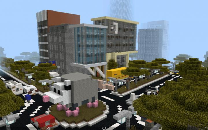
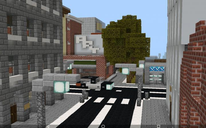
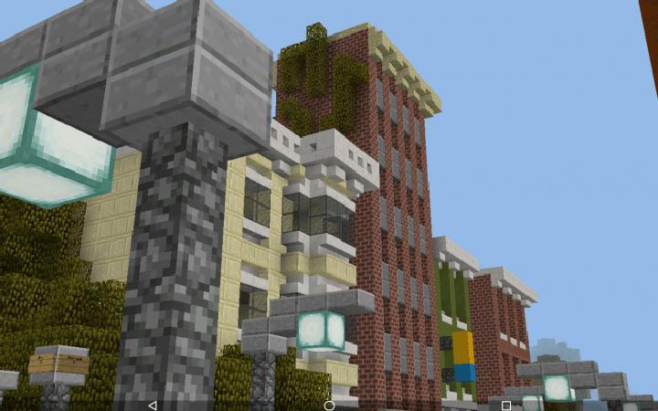
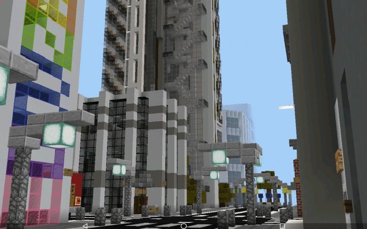
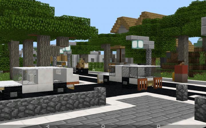
Footscray is a large MCPE city map with a detailed downtown, residential districts, streets with real-looking names and a beach waterfront. This update is the biggest one in a long time: it adds new areas, heavily reworks several existing ones and marks the start of Project Renaissance, a major long-term revamp of the whole city. So what you see now is only the beginning of a bigger rebuild.
The city is split into districts with their own look, and each has a few spots worth visiting.
Meston: the city centre
Meston is the busiest part of Footscray, with tall buildings, wide roads and heavy traffic. One of its main points is the intersection of Cavill Avenue and Interstate 1, where the highway runs straight into the downtown. Hospital Road is another highlight, especially if you are into architecture: the buildings here mix different styles, and it is a good place to look for ideas for your own city builds.
Sudbury and the waterfront
Sudbury is the trendy district, with an art gallery at the corner of Scotia Road and Barnes Street and a calmer, more artsy feel than the centre. On its edge lies the Sudbury Waterfront, where Riverside Drive runs along the beach, so you can go from skyscrapers to the sea in just a short walk.
This MCPE city map works well for exploring, roleplay, driving around with vehicle addons or simply studying how a realistic city can be built in Minecraft. With Project Renaissance underway, Footscray is set to keep growing, so it is worth keeping an eye on future versions of this MCPE city map.
| File | Filesize | |
|---|---|---|
|
443-footscray-city-v1-6.mcworld
|
25.03 Mb |